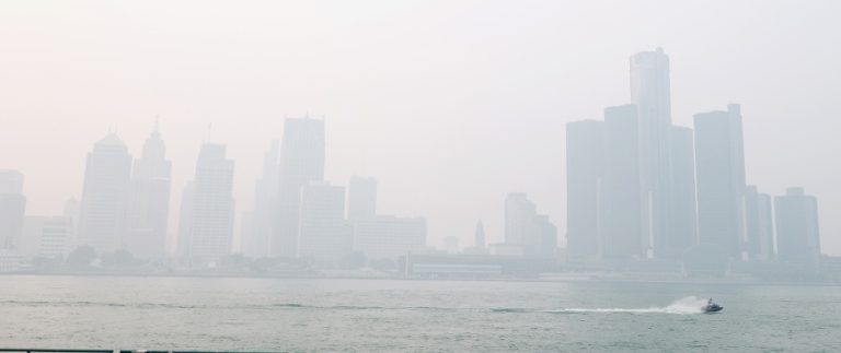
Typhoon Lupit, which was active in the Pacific region from August 2 to August 9, made landfall twice in China before forcing the evacuation of more than 300-thousand people in the prefectures of Hiroshima, Shimane and Ehime in Japan.
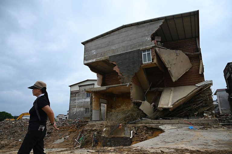
Lupit, the ninth typhoon of the 2021 Pacific typhoon season, first made landfall in the city of Shantou, in China’s southern province of Guangdong at approximately 11:20 a.m. Thursday August 5th before heading back out to sea only to come ashore again in east China’s Fujian Province, bringing heavy downpours and forcing the evacuation of thousands.
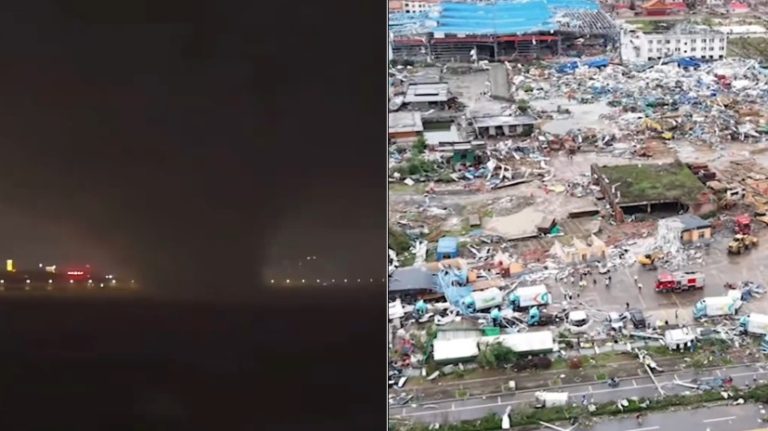
Lupit made its second landfall in Dongshan County in the city of Zhangzhou at approximately 4:50 p.m. on the 6th with maximum wind speeds reaching 18 meters per second near its center, Xinhua reported.
Fujian Province evacuated upwards of 25,000 people and ordered the docking of some 153 fishing vessels. In addition, the storm forced the closure of 218 harbors and coastal scenic locations as well as 88 ferry lines.
The cities of Fuzhou and Zhangzhou issued an emergency response for flood and waterlogging amid torrential downpours. The storm brought the risk of heightened geological disasters as the typhoon lingered in the province’s coastal areas.
Success
You are now signed up for our newsletter
Success
Check your email to complete sign up
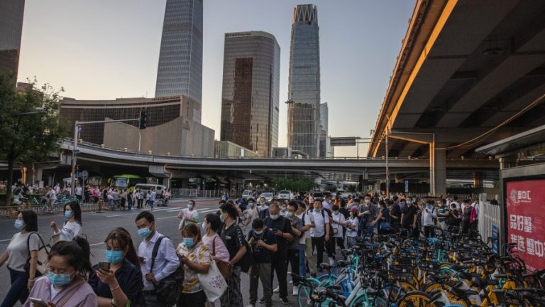
Typhoon Lupit, like Typhoon In-fa, that brought record breaking amounts of rainfall to China in July, was on track to make a direct hit on Taiwan but bizarrely made an abrupt 90-degree turn and instead made landfall on the Chinese mainland.
Japan inundated
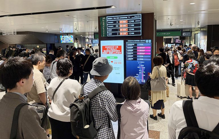
On Sunday night, August 8, Lupit made landfall on Japan’s southwestern island of Kyushu forcing some 300-thousand people to evacuate and resulting in 63 flights being cancelled.
At its peak, Lupit created wind speeds that reached 45-knots or 85 kilometers per hour with wind gusts being recorded as high as 108 kilometers per hour in Japan.
The typhoon is forecasted to continue to move through the Kyushu region into the Sea of Japan where it will weaken to an extratropical cyclone on Monday, Kyodo News reported citing the Japan Meteorological Agency.
“Rainfall of up to 300 millimeters is projected for the Shikoku region in western Japan, and between 200 and 250 mm for wide areas of the country including the Kyushu region, in the 24 hours through Monday evening,” Kyodo News reported.
At one point on Monday morning, the storm resulted in a local weather agency issuing the highest-level rain alert possible for the town of Kitahiroshima in Hiroshima Prefecture. According to local firefighters no casualties were reported as of 8:30 am Monday.
Some transportation services were impacted including the Sanyo Shinkansen line which was temporarily halted between Shin-Onomichi and Higashihiroshima stations while a bridge leading to Kansai airport in Osaka Prefecture was closed to traffic at approximately 7:40 a.m. due to projected strong winds.
Up to 200 millimeters of rainfall is projected for the central Japanese region of Tokai and between 100 mm and 180 mm for other areas including Kanto and Kinki before centering on Tokyo and Osaka by noon on Tuesday.
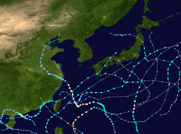
To date, the 2021 typhoon season has experienced a total of 24 tropical depressions 11 of which were designated as storms, three as typhoons and one as a super typhoon. The Pacific typhoon season typically runs between May and October; however there are no official seasonal boundaries.