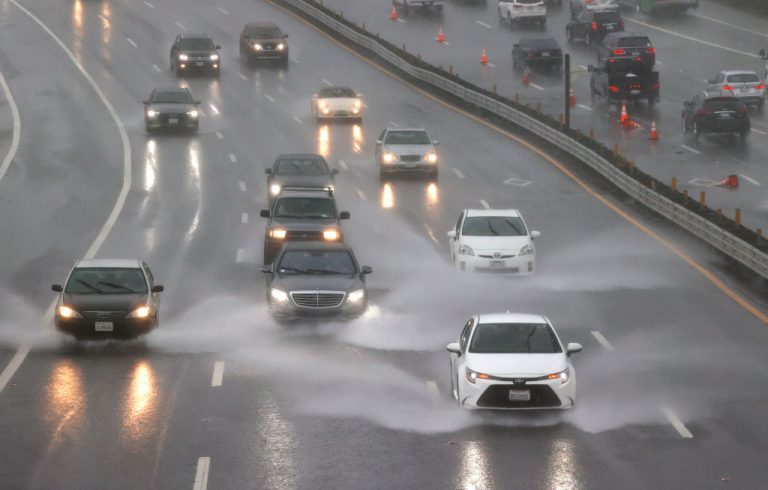
Accuweather Meteorologist Paul Walker predicted a “heavy” downpour beginning at nightfall Oct. 25 affecting a swath from New York City to Boston. Described as “an early-season tempest,” in the Tri-State region, the rain may not completely stop before the morning of Oct. 27.
New York City saw its stormwater capacity pushed beyond the limit earlier by remnants of Ida and, according to Accuweather, may now see up to five inches of rain. The National Weather Service reports, somewhat more conservatively, that the rain in NYC will be “light to moderate” and the maximum expected rainfall is 4 inches.
New York City Emergency Management (NYCEM) has issued a travel advisory and flash flood watch for NYC that began at 8 p.m. Monday night and will last until 5 p.m. Tuesday, affecting both morning and evening commutes.
“This event may cause flooding in the city, including on highways, streets, underpasses, as well as other poor drainage or low-lying spots,” NYCEM Incoming Acting Commissioner Andrew D’Amora said.
The New York Post reported that a fresh to strong breeze, moving at 20 to 30 mph, will characterize the tempest, with potentially gale-force gusts of up to 40 mph. The winds could begin Tuesday afternoon and continue through the evening.
Success
You are now signed up for our newsletter
Success
Check your email to complete sign up
NYCEM warned that strong winds “can bring down trees and power lines and can turn unsecured objects into dangerous projectiles,” or cause power outages.
New Yorkers were advised to remove “Tree limbs, garbage cans, yard debris, or other materials that can be moved by the wind,” in anticipation of potentially gale-force gusts at the peak. A windstorm of this strength may impede walking and cause objects to become airborne, breaking small twigs and branches from trees.
Accuweather reports that the storm may or may not undergo “a period of rapid intensification known as bombogenesis,” creating a “bomb cyclone.” This happens when “the central pressure of a storm drops by 0.71 of an inch of mercury (24 millibars) or more over a 24-hour period.”
This would be the third such storm to hit the U.S. since late last week, when two similar storms generated in the northern Pacific and drenched the western United States.


