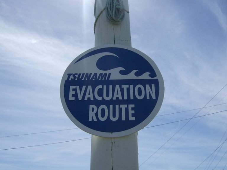
New Zealand is under a tsunami warning after multiple large earthquakes struck the ocean approximately 800 kilometers off the northeast coast of the island country during the morning of March 5.
The day started with a 7.2 magnitude quake 105 kilometers off the north island’s east coast at 2:27 a.m. According to GeoNet, over 50,000 New Zealanders reported feeling the shake, followed by 21 aftershocks ranging from 4.0 to 5.4 magnitude.
At approximately 8:28 a.m., a magnitude 8.1 quake followed a second, smaller 7.4 magnitude off the Kermadec Islands. According to The Guardian, flooding is anticipated on the north island’s east and west coasts. New Zealand’s National Emergency Management Agency has called for a full evacuation of the areas, with the first waves from the original quake reaching the shore at approximately 10 a.m.
Newshub Sports reporter Luke Robinson tweeted a photo of a small wave reaching the bay, positing whether or not it was the beginning of things to come.
Google Maps appeared to reflect traffic jams from citizens in Whakatane, evacuating to higher ground.
New Zealand is composed of two landmasses. It is home to approximately 4.9 million residents and covers about 268,000 square kilometers. The country is somewhat isolated in the South Pacific Ocean, with Wellington and the Gold Coast of Australia approximately 2400 kilometers apart.
Seismologist Bill Fry of New Zealand’s GNS Science Institute told The Guardian the earthquakes “could not have been predicted” but noted the sequence of quakes was “unusual” and “not seen by him before in his decade-plus experience in New Zealand.”
The U.S. National Weather Service has said a tsunami is not anticipated for the west coast of North America. Hawaii was under a tsunami watch, but that watch was cancelled according to Governor David Ige on twitter.


