
In recent years, China has conducted large-scale seabed mapping and monitoring operations across the Pacific, Indian Ocean, and Arctic, raising international concerns about its military intentions. Several naval experts have noted that if such data were used for military purposes, it could directly support submarine deployment and anti-submarine operations.
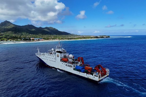
Take the research vessel Dongfanghong 3 of China Ocean University as an example. Reuters, using vessel tracking data, found that between 2024 and 2025, the ship repeatedly traveled to sensitive areas, including waters around Taiwan, key U.S. military locations such as Guam, and critical waterways in the Indian Ocean.
Public records show that in October 2024, the vessel went near Japanese waters to test high-powered sensors capable of underwater target identification, and it returned to the same areas in May 2025. In March 2025, the ship repeatedly navigated the waters between Sri Lanka and Indonesia, covering strategic global shipping routes such as the entrance to the Strait of Malacca.
While China externally claims these missions are for sediment surveys and climate research, academic papers indicate they also involve large-scale deep-sea mapping. Several military experts argue that such data can be used to understand underwater terrain and environmental features, enhancing submarine stealth and operational efficiency, and even tracking adversary submarines.
Dongfanghong 3 is not an isolated case. Reuters, combining vessel data from New Zealand’s Starboard Maritime Intelligence and Chinese official and academic sources, found that over the past five years, 42 Chinese research vessels have been active across the three major oceans, forming a systematic operation involving dozens of ships and hundreds of sensors.
Success
You are now signed up for our newsletter
Success
Check your email to complete sign up
Seabed mapping has clear military potential
Naval experts participating in assessments note that while such research has civilian value—for example, fisheries surveys or resource exploration—it also carries clear military potential. The vessels’ dense, straight-line travel patterns are considered typical for seabed terrain scanning.
Former Australian submarine commander Peter Scott said such data is “extremely valuable” for battlefield preparation, as submarine operations heavily rely on knowledge of the underwater environment.
The data also indicate that China’s mapping focuses on areas near the Philippines, Guam, Hawaii, and Wake Atoll—regions of frequent U.S. military activity. Jennifer Parker, a defense expert at the University of Western Australia, noted that the scale clearly exceeds pure scientific research and approaches systematic maritime military capability building.
Analysts also point out that under China’s push for “civil-military integration,” the line between research data and military use has become increasingly blurred, making it harder to determine the data’s true purpose.
This month, U.S. Navy Intelligence official Mike Brookes told Congress that China is rapidly expanding its ocean survey scope. These data can support submarine navigation, covert operations, and the deployment of seabed sensors and weapons, raising “strategic-level concerns.”
Ryan Martinson, a scholar at the U.S. Naval War College, noted that the rapid expansion of China’s ocean surveys is eroding the long-standing U.S. advantage in underwater warfare awareness.
Experts explain that underwater sound propagation is influenced by factors such as terrain, temperature, salinity, and currents, making detailed ocean data crucial for anti-submarine operations.
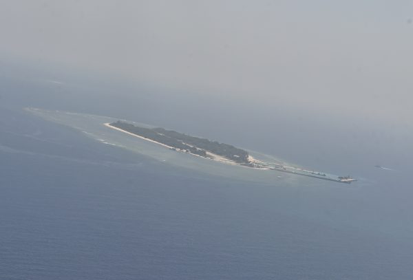
China’s densest surveyed areas
Currently, China’s densest survey areas are east of the Philippines and along the First Island Chain, a geographic barrier formed by the Japanese archipelago, Taiwan, and extending to Borneo, which limits Chinese naval access to the western Pacific. Australian scholar Peter Leavy believes these mapping operations reflect China’s strategic intent to overcome these geographic constraints.
Moreover, China proposed the “Transparent Ocean” initiative around 2014, aiming to establish long-term monitoring networks for specific sea areas. The project received substantial local government funding and has deployed observation systems in the South China Sea, including sensors in sensitive areas.
Although China claims the equipment is for climate and ocean monitoring, local officials have stated that one goal of the project is to “ensure maritime national defense security.”
Meanwhile, Reuters notes that the U.S. is also strengthening defenses in key waterways between Taiwan and the Philippines in response. Research from China Ocean University indicates that advanced sensors have been deployed in some areas that are also key channels for U.S. submarines entering the South China Sea.