By Gao Yun
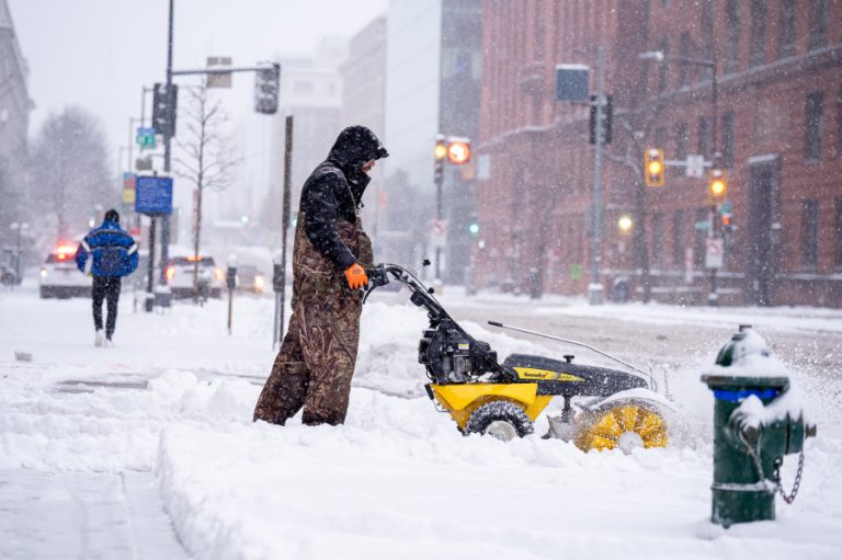
Multiple new weather forecasts indicate that in December this year, many parts of the United States may experience unusually severe cold, with the Northeast and northern regions expected to be hit the hardest. Meteorologists warn that by mid-December, the U.S. may see “some of the most extreme cold on Earth,” driven largely by changes in the polar vortex.
According to USA Today, the Climate Prediction Center of the National Weather Service says northern and northeastern U.S. states are most likely to experience colder-than-normal temperatures in December. Some meteorologists also note that the polar vortex may shift southward, pushing extremely cold Arctic air into the continental United States.
MIT climate scientist Judah Cohen told USA Today: “I think the cold in the first week of December is just the appetizer. The real main course will arrive in mid-December.”
Cohen said his weather models indicate that in the third week of December, the largest region on Earth likely to experience extreme cold will stretch from the Canadian Plains all the way to the U.S. East Coast.
Success
You are now signed up for our newsletter
Success
Check your email to complete sign up
Polar vortex movements are key
The deadly cold air is expected to originate from changes in the polar vortex. When the vortex sinks southward, the cold air above the Arctic is dragged into the United States, triggering widespread severe cold.
Weather Trader meteorologist Ryan Maue wrote on Substack that over the next 7 to 10 days, most of the polar vortex’s strongest cold air will remain confined to Canada, but in December there is still a risk of it dipping into the lower 48 states.
Cohen said complex upper-atmosphere climate patterns — including the polar vortex and sudden stratospheric warming — will ultimately determine how intense and long-lasting the cold spell becomes.
As for snowfall, experts say it is still “impossible to predict in advance,” since snowfall-producing systems can usually only be identified a few days ahead. However, Cohen noted, “The cold air is already in place, which means half the battle is already won.”
Many regions will be far below average temperatures
Although the most extreme cold won’t arrive until later in December, starting next week, large swaths of the U.S. — from the Western Highlands to the East Coast — will remain below typical seasonal levels. The National Weather Service expects the Southeast to be closer to average, while Florida will be relatively warm.
The Midwest will be the first to experience sharp temperature drops:
- Dec. 1–2: High temperatures only in the teens to 20s °F (about −12°C to −4°C).
- Lows will fall to around 0°F (about −18°C), with the cold wave pushing deep into northern Missouri and Illinois.
- In parts of eastern Montana and North Dakota, nighttime lows “could very well” fall below zero.
This week, some Midwestern areas have already seen daytime highs drop to the teens and 20s °F, while lows from Illinois to Missouri have neared 0°F — early signs that the cold wave has begun.