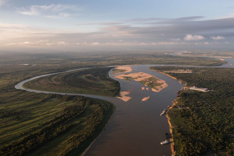
According to the Wall Street Journal (WSJ), A Hangzhou-based artificial intelligence company called MizarVision has repeatedly posted satellite imagery analysis on social media covering the deployment and movements of major U.S. military assets in the Middle East. Targets identified by the company in recent weeks include the aircraft carriers USS Gerald R. Ford and USS Abraham Lincoln, F-22 stealth fighters, and B-52 strategic bombers. MizarVision sources imagery from a mix of Western and Chinese satellite operators and runs it through AI models that automatically annotate aircraft, ships, and ground equipment by type.
The WSJ notes that in March, MizarVision released a series of analytical graphics showing B-52 bombers taking off from Royal Air Force bases in the United Kingdom, transiting the Mediterranean into the Middle East, and returning via the Persian Gulf. The same analyses pinpointed the positions of U.S. warships in the Persian Gulf and tracked U.S. aircraft deployments at bases in Saudi Arabia.
The disclosures, made openly on Chinese-language platforms and on X, have unnerved Western military analysts. Until recently, the assumption in Washington was that only the United States and a handful of allied countries had access to commercial satellite imagery of this resolution and freshness, and that no one would publish targeting-quality analysis of American force dispositions in real time.
Congress asks the Pentagon to assess the risk to American troops
Republican congressman John Moolenaar, who chairs the U.S. House Select Committee on the Chinese Communist Party, has written to U.S. War Secretary Pete Hegseth asking the Pentagon to evaluate the security risk that Chinese commercial satellite imagery poses to American forces in the Middle East. The committee is the bipartisan body Congress created in 2023 to investigate Beijing’s strategic threats to the United States. Hegseth’s title was officially changed from Secretary of Defense to Secretary of War by executive order in September 2025.
Moolenaar warned that Beijing is in a position to use commercial satellite imagery to locate U.S. military targets, presenting a real-world threat to American personnel. He also asked the European aerospace company Airbus to confirm whether it has stopped supplying satellite data to entities that could endanger U.S. forces.
Success
You are now signed up for our newsletter
Success
Check your email to complete sign up
Airbus pushed back, saying the letter contained inaccuracies in its description of the company’s commercial relationships and stressing that it complies fully with all sanctions, export controls, and international regulations.
The Pentagon’s annual report on Chinese military power, published in late 2025, stated that some of China’s commercial satellite companies have business ties to Iran’s Islamic Revolutionary Guard Corps, the elite paramilitary force that controls Iran’s missile, drone, and external operations programs. The report did not reveal specific details and did not say whether Iran has directly used the imagery for military operations. It stopped short of naming the firms.
A separate U.S. commercial satellite operator has, at the request of the U.S. government, indefinitely suspended the release of high-resolution imagery of Iran and surrounding areas. The decision is meant to deny Tehran a real-time view of U.S. and Israeli strikes and their effects. According to the BBC, Bill Greer, a former Maxar geospatial analyst and co-founder of the nonprofit satellite initiative Common Space, said the suspension will not solve the underlying problem. Once American suppliers stop, he said, Iran can simply obtain the satellite data it wants from other countries.
China has more than 640 commercial remote-sensing satellites in orbit
According to the Global Times, Beijing launched more than 120 remote-sensing satellites in 2025 alone. China’s total in-orbit commercial remote-sensing fleet now exceeds 640 satellites, a number that places it second only to the United States.
The largest single network is the Jilin-1 constellation, operated by Changguang Satellite Technology, which has more than 150 satellites in orbit. The company plans to expand the constellation to 300 satellites and aims for the ability to image any point on Earth within ten minutes of being asked. According to Changguang’s own materials, Jilin-1 already supports up to forty revisits per day to any chosen location worldwide, meaning a target on the ground can be photographed roughly every thirty-six minutes.
A Dubai-based company called Xrtech publicly advertises that it can supply customers in the Middle East, Africa, and Asia with data from more than 130 non-American satellites, and emphasizes that its services are not subject to U.S. export licensing.
Xrtech says it has a partnership with China Siwei Surveying and Mapping Technology, which provides high-frequency remote-sensing data to international customers. China Siwei is a subsidiary of the China Aerospace Science and Technology Corporation, the state-owned conglomerate that runs much of China’s space industry. The arrangement gives Beijing-aligned satellite data a route to buyers in conflict regions through a third-country reseller, beyond the immediate reach of American sanctions enforcement.
A congressional report warns that America’s forces can no longer hide
A research report prepared by OTH Intelligence Group for the U.S.-China Economic and Security Review Commission, the bipartisan body Congress established in 2000 to monitor the security implications of U.S.-China relations, concluded that the rapid expansion of Chinese remote-sensing capabilities is improving Beijing’s ability to locate, track, and surveil U.S. military assets, including moving targets such as Navy aircraft carriers.
According to the report, hiding, repositioning, and deploying U.S. equipment around the world is becoming significantly harder. The American military is being forced to operate under the assumption that any movement, anywhere, may be observed and published in something close to real time.
The U.S. government has already imposed sanctions on Changguang Satellite Technology, accusing it of providing satellite imagery to Russia’s Wagner Group and of supplying support to the Houthi forces in Yemen. The sanctions did not prevent the company from continuing to expand its constellation or from selling imagery through international intermediaries.
China’s commercial satellite fleet keeps expanding, and the Middle East battlefield is where its practical consequences are visible to Western audiences for the first time.