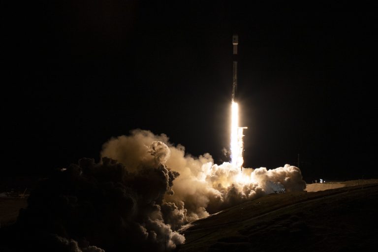
A SpaceX rocket blasted off early on Friday carrying a U.S.-French satellite designed to conduct an unprecedented global survey of Earth’s surface waters, a mission expected to shed new light on the mechanics and consequences of climate change.
The mission’s payload, the Surface Water and Ocean Topography satellite, or SWOT, has advanced microwave radar technology to collect high-definition measurements of oceans, lakes, reservoirs and rivers over 90% of the globe
The Falcon 9 booster owned and operated by Elon Musk’s commercial rocket company lit up the predawn sky along California’s coast as it roared off its launch pad at the Vandenberg U.S. Space Force Base, about 160 miles (260 km) northwest of Los Angeles.
The Falcon 9’s upper stage, carrying the satellite, reached orbit within nine minutes. Moments earlier, the reusable lower stage separated from the rocket and flew itself back to Earth, unleashing sonic booms before slowing to a gentle landing at the base.
One major thrust of the mission is to explore how oceans absorb atmospheric heat and carbon dioxide, in a process that naturally regulates global temperatures and has helped to minimize climate change.
Success
You are now signed up for our newsletter
Success
Check your email to complete sign up
Scanning the seas from orbit, SWOT will be able to measure fine differences in surface elevations around the smaller currents and eddies where much the oceans’ drawdown of heat and carbon is believed to occur.
Understanding that mechanism will help answer a pivotal question – what is the tipping point at which oceans start releasing, rather than absorbing, large amounts of heat back to the atmosphere, thus intensifying global warming instead of limiting it.
By Reuters (Production: Pavithra George)


